BARRIER ASSESSMENT TEAM (BAT)
“It is from small streams that big rivers rise.” – Matshona Dhilwayo
Barrier Assessment Team (BAT)
Background
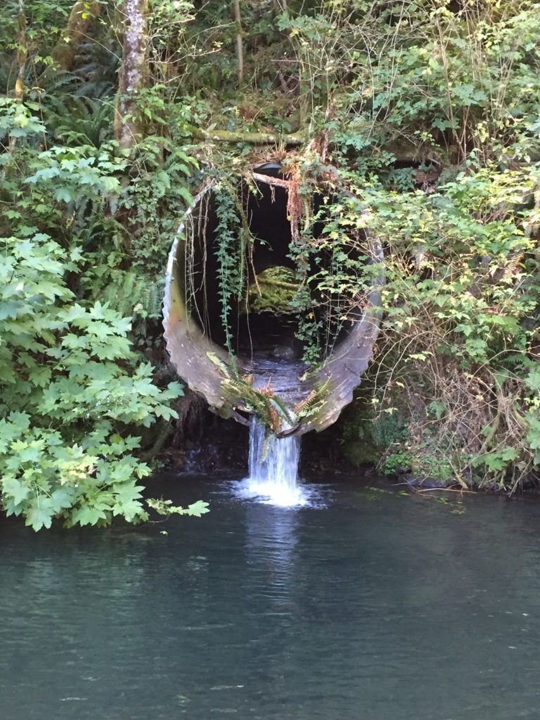
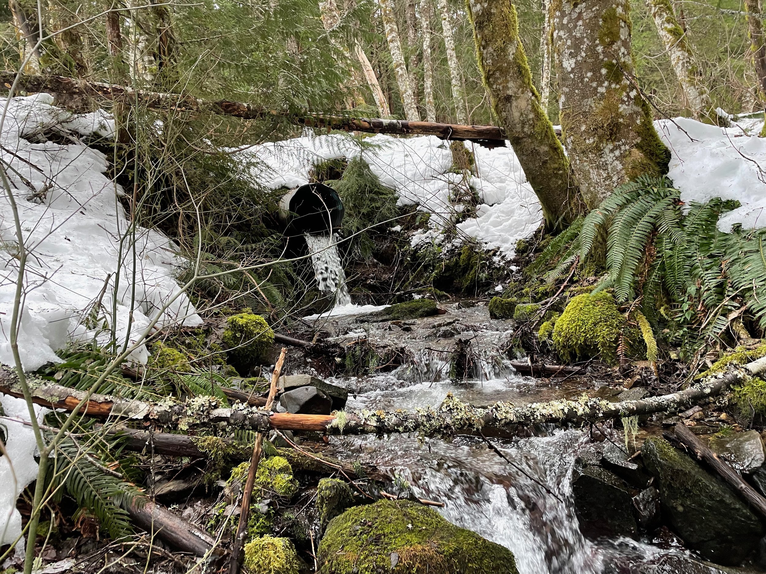
The U.S. Supreme Court has ruled that Washington State must fund the work necessary to replace all culverts on state land that represent a significant barrier to migrating fish. Although the ruling applied only to state lands, all landowners, including federal, county and private, are now becoming aware that barriers restricting the movement of aquatic animals and resources must be replaced if we are to be successful in reconnecting the rivers and streams in our watersheds.
Given that there are as many as 40,000 culverts around the state, and not all are equally harmful to fish, there is an immediate need to assess and prioritize culverts for replacement based on their impact and potential for improvement.

Did you receive a postcard?
Click here!
BAT Program
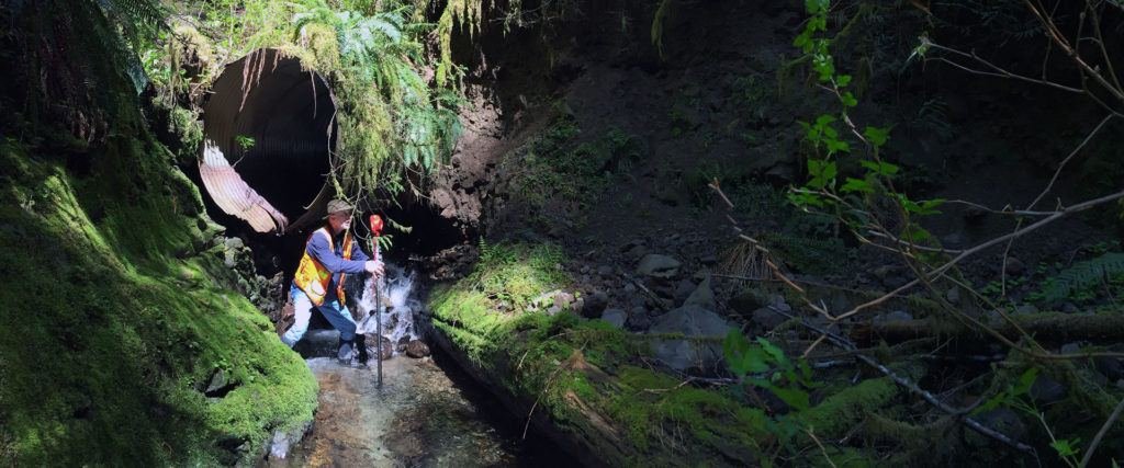
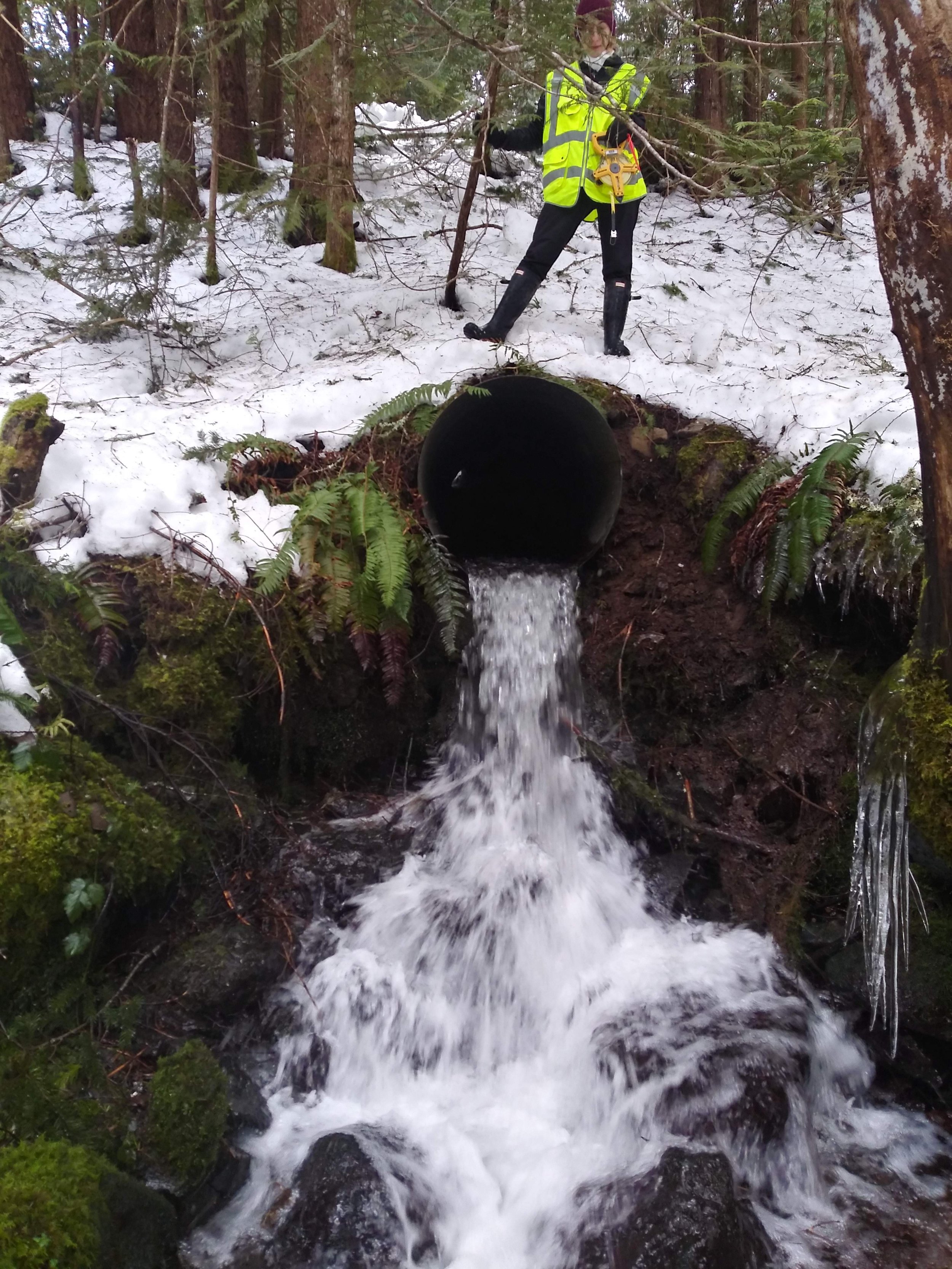
WCTU is deploying teams of volunteers to conduct assessments of culverts and other structures that are potential barriers to fish passage using the Washington Department of Fish and Wildlife (WDFW) protocol. By partnering with organizations like the United States Forest Service (USFS), counties, Tribes, and the United States Geological Survey (USGS) to evaluate and classify culverts on lands that they manage, we aid in developing a comprehensive plan to prioritize the replacement or redesign of culverts that disrupt the movements of aquatic creatures and resources. The Council has invested in a number of survey kits across the state to equip Barrier Assessment Teams in their work, using modern equipment to provide accurate data.
Additionally, all collected survey data is managed in a Geographic Information System (GIS) that will allow us to track the results of barrier surveys and share them with interested people. Survey data that determines a culvert is a potential barrier to fish passage are shared with the WDFW, allowing them to update their own fish passage barrier database.

A preview of our Washington Council Trout Unlimited GIS Mapping Application
Barrier Assessment GIS Map
While this map is currently a work in progress, it will show the barriers our teams have assessed, where they are located, and their status.
Join the BAT
The Council is actively training volunteers to participate in field teams of 2-3 surveyors. Training consists of a virtual training session followed by in-field training to cover safety, equipment usage, data gathering, and reporting. Fill out the form below to express your interest and to join our BAT mailing list! Please visit the Events page for information on the next BAT training event in your area.
NOTE: BAT training and assessing culverts require the physical ability to safely navigate road banks that are sometimes both steep and unstable, in a variety of weather conditions. Please contact us if you would like more detailed information about the possible challenges of culvert assessment.
Because culverts can be located in remote areas, please expect significant travel time. While volunteers can be reimbursed for doing assessments, we are unable to offer compensation for travel during training.
Want to know what training is like? Check out the “What to Expect” section beneath the Barrier Assessment Resources.
Barrier Assessment Resources
To expand each resource section, click the plus sign on the right side of the screen. This section contains various resources describing the BAT program, training videos, printable data forms, and other information.
-
WCTU uses the WDFW protocol for fish passage barrier and reports survey results to WDFW.
Fish Passage Program Overview Website
Fish Passage Inventory, Assessment, and Prioritization Manual
Washington State Fish Passage Map -
Materials for virtual training and education. Check the Events page to find the next opportunities to train!
Fish Use Potential & Significant Reach Training Video
-
These are the forms needed to record survey data while in the field.
WDFW Level A Form & Instructions
WDFW Site Description Form & Instruction -
This is where surveyors can enter their field data into a database that contains all WCTU BAT surveys and displays them on a GIS Map.
-
Every BAT Kit should include the following items. Please verify you have all necessary equipment before heading out into the field.
Equipment:
༄ Rotary laser level +
༄ Receiver +
༄ Laser rangefinder +
༄ Garmin GPS +
༄ Laser tripod
༄ Stadia rod
༄ Gravel probe
༄ Equipment bag
༄ Survey targets
༄ Flashlight +
༄ Neon Safety Vests (3)
༄ Orange safety traffic cones - OPTIONAL
༄ Large surveyors’ tape measure
༄ Clipboard
༄ Mechanical pencils and extra lead
༄ Waterproof tape measure
༄ Magnet
༄ Stake for anchoring large surveyors’ tape
༄ Machete & sheath
༄ One-hand pruning clippers
༄ Spray paint
༄ Batteries + - Working batteries in all items that require them (marked with + signs above) PLUS Extra batteries – AA, AAA, C, lithium (for some rangefinders), 9 volt (for some receivers) for all items that use batteries
NOTE – different kits have different types of battery requirements.Forms:
Check out the Tips, Tricks, & Suggestions section for paper recommendations. Some should be printed on waterproof paper, especially when expecting wet conditions.
༄ Site ID
༄ Level A Field Assessment Form
༄ Level B Field Assessment Form
༄ Field Assessment Forms for Non-Fish Potential Culverts (used by the Forest Service)
༄ Blockage flow chart
༄ Quick reference table -
Training Day:
Wear footwear that are comfortable, provide good stability, and that you are comfortable getting wet or that is waterproof.
Bring sunscreen, hat, sunglasses, and a change of footwear if you can.
Drink plenty of water and be sure to bring snacks or a lunch!
Printing Forms:
Print the Level A form on one side of a piece of paper, then print the Site Description “upside down” on the back of the same page. This makes it easy to flip between the two when on a clipboard in the field!
While it’s not necessary to use Rite in the Rain weatherproof paper for all the forms you print, it’s a good practice to have some weatherproof forms available for when it’s raining, or it’s wet enough to smear your writing.
Use pencil lead for all forms regardless of paper type. When creating weatherproof forms, use #20 white ‘Rite in the Rain’ copier paper
When creating weatherproof forms, it’s important to use a laser printer – not an inkjet printer!
-
What to Expect on Training Day
Dannon Elora - 19 July 2022
Traveling to Darrington for Barrier Assessment Training was a journey that ended up being full of unexpected meaning for me. Memories of a land I had forgotten from childhood trips to Oso rose up around me in the form of mountains and general stores, rivers and bridges that we had floated under in tubes or rafts. Even the scent of the woods reminded me of warm summer days spent along the riverside, turning over rocks to see “periwinkles”, which I now know are caddisflies, and picking blackberries for my grandpa’s famous pies. It was just as striking to see how much had changed in my absence, too; the Oso slide, visible from the highway, was a stark and foreboding reminder of how very alive and dynamic this landscape was.
At Moe’s, a delightful cafe with friendly staff and great places to spend time with family and friends, the newest set of trainees and experienced assessors met under sunny skies, eager to learn. After introductions and with a game plan in mind, we traveled to our first culvert. Though eager, I was a little nervous— my background was primarily in human-facing, customer service-type roles and technology rather than field work, but this turned out to be no problem at all! Willingness to learn and to do a little forest exploration with integrity are all that are needed to help this cause.At our first stop, we learned about the equipment we would be using, the process of assessing a culvert, and things to look out for during assessments. All the while, we were surrounded by nearly silent forest, with only the occasional passing car to remind us we were in a public space. Dividing into groups, some of us navigated down to the culvert, while others wrangled the data, and collectively bonded over the beauty of the place we found ourselves in.
Our next two stops were equally stunning, and through our work and our conversations, it was clear what we were doing was vitally important. Although many of us were interested in helping and protecting fish, learning the history of undersized culverts causing flooding, breaking down roadways, and destroying surrounding habitats, made it clear that this service is crucial not only for conservation and restoration, but the safety of our fellow adventurers and recreationalists.
To make the trip as fun as possible, I highly recommend bringing along plenty of water, clothes that are comfortable for climbing, crouching, and reaching and appropriate for the day’s weather, knee-high boots, waders, or shoes you are comfortable getting wet, sunscreen, and plenty of snacks or lunch to eat!
BAT Photo Gallery